Jefferson County Sheriff’s Office shares defensible space landscaping tips

Kelsey Merison

JEFFERSON COUNTY, Ore. (KTVZ) — Transform your yard into a fire-resistant haven with these stunning plant options that not only enhance your home’s defensible space but also keep the skies clear of smoke.

The Jefferson County Sheriff’s Office posted to Facebook on Monday, “Please don’t plant fire-bombs next to your porch. Swap the dry brush for these fire-resistant beauties and help us keep the smoke out of the sky.”

It says the Ponderosa Pine (Conifer tree), Mock orange (Deciduous shrub), Crabapple (Deciduous tree), Carol Mackie (Evergreen shrub), Salvia (Perennial), and Coneflower (Perennial) are all great options to use in your yard.

The agency said to remember “Zone Zero” (0-5 feet from the house) where nothing flammable should be.

Click here to follow the original article.

SOS signal prompts hours-long search on Lookout Mountain Trail

Kelsey Merison

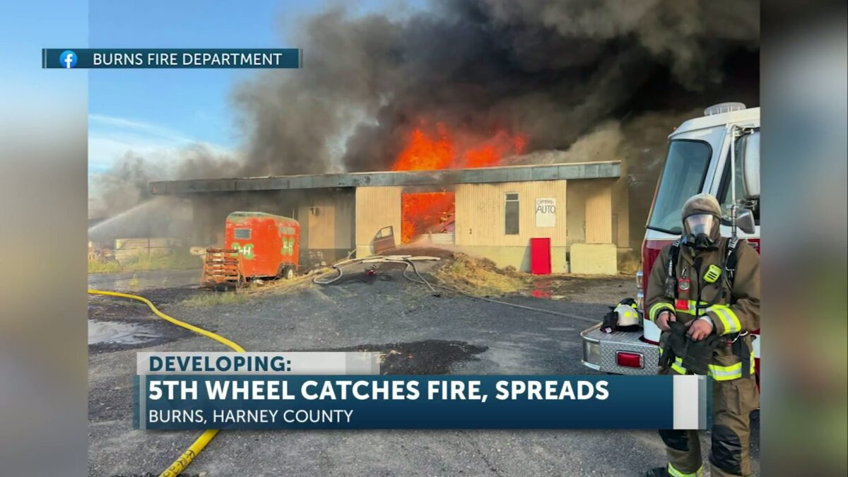
CROOK COUNTY, Ore. (KTVZ) — Crook County Search and Rescue was activated Saturday evening for a possible SOS signal on the Lookout Mountain Trail. Teams conducted a search that lasted several hours before being called off around 11 p.m., with no injured or lost person located.

Dispatch received the possible distress signal, though no information was initially available beyond a potential location. Search and Rescue teams responded to the general alert.

Search and Rescue teams proceeded to the Lookout Mountain Trail to conduct their operation. Searchers thoroughly cleared the trail and the surrounding area in their efforts to locate a possible subject. The operation was called off at 11 p.m.

Even without finding an individual in distress, Search and Rescue officials stated their commitment to responding to potential emergencies to ensure no one is in need of assistance.

Click here to follow the original article.
Economic revival: Jefferson County climbs to 8th in state distress index from 1st

Matthew Draxton

MADRAS, Ore. (KTVZ) — Jefferson County has demonstrated significant economic improvement, moving from the state’s most economically distressed county in 2023 to the eighth position in a new report. Business Oregon released the latest ranking on Feb. 12, 2026, reflecting substantial gains in the local economy.

This progress signals a stronger economic outlook for the Madras, Ore., area.

The state’s designation is based on a standardized economic index that evaluates counties using key indicators. These indicators include unemployment, income levels, wage growth and employment trends.

The improved ranking reflects measurable gains and sustained efforts by the county to stabilize and grow its local economy.

Jefferson County Board of Commissioners Chair Mark Wunsch attributed the improvement to years of dedicated work and strong partnerships. Wunsch highlighted the impact of community investments.

“This improvement reflects years of disciplined work and strong partnerships across Jefferson County,” Wunsch said. “Moving from the most distressed ranking to eighth shows that community investments in economic development, workforce and infrastructure are making a real difference for our residents and businesses.”

County officials emphasized that the progress stems from collaboration among public agencies, local employers and community partners working together to strengthen economic opportunity.

Jefferson County Commissioner Kelly Simmelink acknowledged the progress but stressed the ongoing commitment to further development. Simmelink noted the current milestone as an indicator of a successful path.

“We’re encouraged by this progress, but we’re not finished,” Simmelink said. “Our focus remains on building a more resilient local economy that creates strategic opportunities across all parts of the county. This milestone indicates we’re on the right path.”

Fellow Jefferson County Commissioner Seth Taylor noted that the positive change is a result of long-term planning and strategic investments. He recognized the collaborative effort required for sustained success.

“This change didn’t happen overnight,” Taylor said. “It’s the result of collaboration between local government, businesses and community partners who are committed to long-term success. We’re proud of the progress and motivated to keep moving forward.”

Brenna Fulks, the County’s Economic Development Program Manager, stated that the shift in ranking indicates growing momentum for Jefferson County. Fulks confirmed positive trends in key economic indicators and outlined continued efforts.

“This shift in ranking is a strong signal that Jefferson County is gaining momentum,” Fulks said. “We’re seeing positive trends in key indicators and we’ll continue working to attract investment, support local employers and expand economic opportunities throughout the county.”

Click here to follow the original article.

Indian Head Casino hosting job fairs for food, beverage, and facility roles

Matthew Draxton

WARM SPRINGS, Ore. (KTVZ) — Indian Head Casino is hosting a series of job fairs this week, starting tomorrow, with opportunities in food and beverage, facility management and more. The events, which will also take place at Plateau Travel Plaza in Madras, offer a chance to meet managers and explore various roles. Don’t miss the chance to apply and learn about the casino’s expanded property.

Click here to follow the original article.

Fresh produce and community await at Bend Farmers Market’s, begins next week

Matthew Draxton

BEND, Ore. (KTVZ) — The Bend Farmers Market will return to downtown Bend on Wednesday, May 6, marking the start of another season. The market, located in Brooks Alley just off Drake Park, offers fresh food, community connections and a lively atmosphere.

The market aims to support local farmers, ranchers, bakers and artisan food producers in Oregon, with a focus on Central Oregon agriculture.

The Bend Farmers Market is dedicated to the viability of local food producers who cultivate, raise and create food within Oregon. Shoppers can find seasonal produce, pasture-raised meats, eggs, locally made cheeses, fresh flowers, baked goods, pantry staples and handcrafted food products.

Each Wednesday offers a view of the high desert growing season and a chance to meet the people who produce the region’s food firsthand.

The market operates every Wednesday from 11 a.m. to 3 p.m., starting May 6 and continuing through Oct. 14, 2026, in Brooks Alley in downtown Bend.

The Bend Farmers Market welcomes shoppers using EBT/SNAP benefits. The market offers a $20 weekly match through the Double Up Food Bucks program for fresh fruits and vegetables. It also provides a $10 weekly Protein Perks match for cheese, meat, poultry, eggs and seafood.

Ashley Thompson of Sungrounded Farm noted her farm’s extensive preparation for the upcoming season. Thompson stated, “We have been hard at work planting and cultivating food for what will be our eighth season vending at the Bend Farmers Market. We hope to see you there to support our amazing community of local producers and celebrate the beginning of the high desert growing season with us.”

Courtney Schuur of North 44 Farm encouraged those seeking locally sourced options to visit the market. Schuur said, “If you’re looking for truly local, seasonal food produced in Central Oregon, come to the Bend Farmers Market.”

Beyond shopping, the market serves as a weekly gathering spot where neighbors connect and families spend time together. It has become one of Bend’s favorite summer traditions for visitors and residents alike.

Megan Kellner-Rode, co-owner of Boundless Farmstead, highlighted the broader benefits of market attendance. Kellner-Rode explained, “Small acts like attending the farmers market each week, eating nourishing food and making community are what our collective souls really need right now.”

For more information, individuals can follow the Bend Farmers Market on social media.

Click here to follow the original article.

Oregon State Parks Commission approves $11M grants for recreational parks

Matthew Draxton

SALEM, Ore. – The Oregon State Parks and Recreation Commission held a virtual meeting on April 22 where it approved several grant recommendations totaling over $11 million and adopted new rules for Unmanned Aircraft Systems, or UAS, operations. The commission also denied a petition seeking to change the extra vehicle fee rule for motorhomes.

The approved rules will clarify where UAS operations are permitted in state parks and along the ocean shore.

The commission’s actions include implementing clearer guidelines for drone usage within state park properties, restricting operations to designated areas. The substantial grant approvals will support various recreational and conservation initiatives across Oregon, drawing from federal programs administered by the Oregon Parks and Recreation Department, or OPRD.

The Oregon Parks and Recreation Department will implement the new UAS rules over the coming months. These rules specify that UAS operations will only be allowed in designated park properties.

In other actions, the commission adopted temporary rules for Public Improvement contracting. This measure will allow ongoing projects to continue through the summer while permanent rules are still under development.

The commission also approved opening rulemaking for changes to the Land and Water Conservation Fund grant program.

Commissioners denied a petition that requested changes to the extra vehicle fee rule for motorhomes. The petition sought to allow motorhomes to bring a non-towed extra vehicle at no charge. The commission found a continued need for the existing rule and determined that circumstances had not sufficiently changed to warrant consideration of a new rule.

Under the Recreation Trails Program, 17 grants were approved, totaling $2,065,768. This is a federal grant program administered by OPRD and the funding represents a portion of fuel tax designated for non-highway recreational use.

The Land and Water Conservation Fund saw the approval of 10 grants, amounting to $8,942,865. This is another federal grant program administered by OPRD, with funding sourced from oil and gas leases in coastal waters.

Additional items addressed by the commission included confirming appointments to its Audit and ATV committees. They also approved legislative concepts to propose for the 2027 legislative session and received informational updates on various real estate matters. These updates covered the potential purchase of properties near Abiqua Falls, a property near Minam and an easement in the Blue Mountains for the Boardman to Hemingway project.

The next Oregon State Parks and Recreation Commission meeting is scheduled to be held virtually on June 9 and 10, 2026. The full agenda packet for the upcoming meeting is available online.

Click here to follow the original article.

Free Talk: Peter Richardson on Rolling Stone Magazine’s Rise at OSU-Cascades

Matthew Draxton

Peter Richardson, a journalist and author, will speak about his latest book, “Brand New Beat: The Wild Rise of Rolling Stone Magazine,” at Oregon State University – Cascades on May 13. The free event, requiring registration, will take place from 6-7:30 p.m. in Bend, Ore.

Richardson’s book documents the founding of Rolling Stone magazine in 1967 in San Francisco during the height of the counterculture movement. The publication helped shape narratives about music, political and popular culture over the following decade during a tumultuous era. Following Richardson’s talk, Natalie Dollar, an associate professor of speech communication, will join him for a discussion.

Richardson previously taught humanities and American Studies at San Francisco State University.

His past works include “Savage Journey: Hunter S. Thompson and the Weird Road to Gonzo,” “No Simple Highway: A Cultural History of the Grateful Dead,” “American Prophet: The Life and Work of Carey McWilliams,” and “A Bomb in Every Issue: How the Short, Unruly Life of Ramparts Magazine Changed America.”

In 2013, Richardson received the National Entertainment Journalism Award for Online Criticism.

The event will be held in the Charles McGrath Family Atrium in Edward J. Ray Hall on the OSU-Cascades campus.

A book signing will follow the discussion, with Dudley’s Bookshop Cafe hosting book sales. Dollar’s research focuses on the cultural identities of musical communities.

The event is open to the public.

Registration for the reading is required and can be completed by visiting beav.es/rolling-stone. For accommodations for disabilities, individuals can contact 541-322-3100 or events@osucascades.edu.

Click here to follow the original article.
Prescribed burns across Central Oregon: how agencies track smoke and protect air quality

Tracee Tuesday

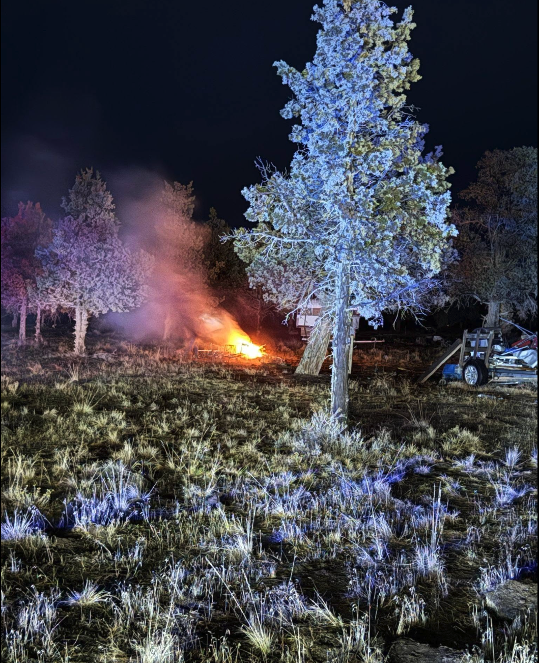
BEND, Ore. (KTVZ) — As prescribed burning ramps up across Central Oregon, state and local agencies say a combination of real-time monitoring, weather modeling and community planning is key to limiting smoke impacts in Bend and surrounding areas.

The Oregon Department of Forestry (ODF) relies on meteorologists who track air quality using Department of Environmental Quality (DEQ) monitors statewide, including several in Bend. Those readings help guide decisions before and during burns and alert officials to any developing smoke concerns.

Each day, ODF issues detailed forecasts that break the state into “smoke zones,” outlining when and where burning can safely occur. Meteorologists also consult directly with burn managers when there is concern smoke could drift into populated areas.

A major focus is how smoke behaves once it rises.

Forecasters analyze “mixing height,” or how high smoke can lift into the atmosphere, along with wind direction and transport patterns. The higher and farther smoke travels, the less likely it is to concentrate near the ground where people live.

DEQ works alongside ODF and federal partners to determine when conditions are safe enough to ignite prescribed burns. Before any burn is approved, agencies review meteorological data, smoke modeling and local conditions to ensure air quality standards are protected.

State rules are designed to protect “Smoke Sensitive Receptor Areas,” including communities like Bend, by limiting smoke exposure to no more than one hour. Officials say even small amounts of smoke can affect vulnerable groups, including older adults, infants and people with heart or lung conditions.

Despite careful planning, weather can shift unexpectedly. When smoke lingers longer than expected, local health agencies step in with community response plans to notify residents and reduce exposure.

Deschutes County Health Services says those impacts are usually short-lived and often happen overnight.

“Limit their exposure to smoke. And so during prescribed fire season, those smoke impacts are typically they’re occurring overnight. They’re limited in duration. People are not as likely to be exposed to that smoke,” said Community Health Specialist Sarah Worthington. “And so our primary recommendation in conjunction with prescribed fire smoke is really to close your windows to stay informed so that you’re aware that there may be smoke impacts overnight.”

Officials emphasize that prescribed burns, while sometimes smoky, are a preventative tool meant to reduce the risk of larger, more dangerous wildfires that can create prolonged and hazardous air quality conditions.

Residents can track active and planned burns through the state’s daily burn map and monitor local air quality through DEQ’s online dashboard.

Central Oregon forests are seeing more prescribed burns this time of year as land managers work to reduce wildfire risk—but those intentional fires also raise questions about air quality and public health. KTVZ’s Tracee Tuesday is taking a closer look at how agencies juggle the need to burn safely with the need to keep the air clean.

Each prescribed burn starts with a careful forecast. Fire managers check wind direction, temperature, humidity, and atmospheric inversions to decide whether smoke will rise and disperse—or settle over towns and neighborhoods. On days when conditions aren’t right, burns are often postponed or canceled to avoid impacting communities.

The Oregon Department of Forestry, Oregon Department of Environmental Quality, and Deschutes County Health Services work together to balance wildfire‑risk reduction with air‑quality and public‑health concerns. State foresters design burn plans and coordinate with smoke specialists, while DEQ monitors air quality and helps determine when smoke levels could pose health concerns. County health officials then use that information to advise sensitive groups—like children, older adults, and people with respiratory conditions—on how to limit exposure.

Tracee has reached out to the aforementioned agencies to learn more about how they manage air quality around prescribed burns, how they communicate with the public, and what residents should watch for when the smoke is visible. A full report will air during the 4 p.m. newscast on KTVZ’s FOX affiliate, with details on how these partners plan ahead—and what you can do when the air gets smoky.

If you’ve seen smoky skies or captured video or photos of a prescribed burn in your area, we want to see it. Send your images and short clips to stories@KTVZ.com and we may feature them in our coverage of prescribed burns and air quality in Central Oregon.

Firefighters on the Deschutes National Forest are planning prescribed burning operations on the Bend-Fort Rock and Sisters Ranger Districts for Monday, if weather conditions remain favorable.

These planned burns aim to connect with prior units to create strategic holding features and protect homes from potential future wildfires.

The Sisters Ranger District intends to conduct ignitions on up to 171 acres within the SAFR 271 and 274 Prescribed Burn units. These units are located approximately one mile west of Sisters along the south side of Forest Service Road 15, across from the Crossroads subdivision. Ignitions for this area are planned for 9:30 a.m.

Concurrently, the Bend-Fort Rock Ranger District plans to conduct up to 145 acres of ignitions on the Thor eight Prescribed Burn unit. This unit is situated six miles northeast of La Pine, adjacent to McKay Crossing Campground on the north side of Paulina Creek, with ignitions scheduled for 10:30 a.m.

Fire management officials work with Oregon Department of Forestry smoke specialists to plan these prescribed burns, which are conducted when weather conditions are most likely to move smoke up and away from communities.

While no road or trail closures are anticipated for most areas, the public is asked to avoid trails in the vicinity of the Sisters burn. People driving along Forest Service Road 15 should slow down and use caution, as firefighting personnel will be working along the roadway and smoke impacts are expected. Edgington Road and other Forest Service roads in the area may also experience smoke impacts.

Smoke from the Sisters area burn will be very visible from Sisters, the Crossroads subdivision and the Tollgate subdivision. Residents in these areas and the surrounding community are encouraged to keep doors and windows closed, particularly overnight and in the early morning hours, to minimize smoke impacts.

Smoke from the La Pine area burn will be visible from Highway 97, La Pine and Sunriver. Residents in Newberry Estates, La Pine and the surrounding areas are also encouraged to keep doors and windows closed to minimize smoke impacts during the overnight and early morning hours.

The Peter Skene Ogden Trail will be closed between Ogden Group Camp and 10 Mile SnoPark during the prescribed burn operations. This closure will extend for up to one week following the burn while mop-up and patrol operations continue. Firefighters will reopen trails once conditions have been assessed and are determined safe for the public.

During prescribed burns, smoke may settle in low-lying areas overnight and in early morning hours. All residents are encouraged to close doors and windows at night to avoid smoke impacts. Portable air cleaners or DIY air cleaners can be used in conjunction with closed doors and windows. Central air systems should use high-efficiency filters if available. When driving in smoky areas, drivers should slow down, turn on headlights and set their air to recirculating. Individuals with heart or lung disease, asthma or other chronic conditions should monitor their symptoms and consider contacting a health care professional if their symptoms worsen.

The Peter Skene Ogden Trail is expected to remain closed for up to one week following the prescribed burn for mop-up and patrol operations. Firefighters will reopen the trail once conditions are assessed and determined safe for the public.

Click here to follow the original article.

Gas prices in Oregon and US rise, diesel prices drop

Matthew Draxton

PORTLAND, Ore. (KTVZ) — Average gasoline prices in Oregon have increased 7.3 cents per gallon in the last week, now averaging $5.00 per gallon today. The national average price for gasoline has also risen, climbing 7.0 cents per gallon to $4.04 per gallon.

Gasoline prices across the state are currently $1.14 per gallon higher than a year ago.

Prices in Oregon are 16.3 cents per gallon higher than a month ago. The national average for gasoline is up 5.7 cents per gallon from a month ago and stands 94.3 cents per gallon higher than a year ago.

In portland, drivers are paying even more — about $5.07 per gallon on average. Across the state, prices vary widely — from about $4.39 to as high as $6.59, according to gas buddy.

According to Triple A, the average in Bend is $5.04. That’s up 12 cents from last week, and nearly a $1.23 from a year ago at this time. 

In contrast, the national average price of diesel has decreased 9.2 cents compared to a week ago, now at $5.408 per gallon.

Patrick De Haan, head of petroleum analysis at GasBuddy, noted that average gasoline prices rose in 39 states over the last week, with the national average moving higher. He stated that while diesel prices saw a brief divergence with declines in most states, “that divergence may prove short-lived.” Haan attributed the expected rise in gasoline prices to oil prices climbing again as markets react to renewed geopolitical tensions and the cancellation of talks between the U.S. and Iran. “As a result, gasoline prices are set to rise further this week, with diesel expected to follow,” Haan said. He added that many inland states— including those in the Great Lakes and Plains— could see average gas prices climb to their highest levels since 2022, while price-cycling markets may also experience another round of hikes in the next few days.

GasBuddy price reports indicate a significant difference in fuel costs within Oregon. Yesterday, the cheapest station in the state was priced at $4.39 per gallon, while the most expensive reached $6.59 per gallon, creating a difference of $2.20 per gallon.

Historical data shows the fluctuation of gasoline prices in Oregon and nationwide over the past five years. On April 27, 2025, Ore. prices averaged $3.85 per gallon, with the U.S. average at $3.10 per gallon. A year prior, on April 27, 2024, Ore. was at $4.45 per gallon and the U.S. average at $3.65 per gallon. On April 27, 2023, Ore. prices were $4.07 per gallon and the U.S. average was $3.61 per gallon. Going back to April 27, 2022, Ore. saw $4.65 per gallon with a national average of $4.14 per gallon. Five years ago, on April 27, 2021, Ore. prices were $3.22 per gallon and the U.S. average was $2.88 per gallon.

In neighboring areas, prices also saw increases. Eugene reported an average of $4.96 per gallon, up 3.9 cents per gallon from $4.92 per gallon last week. Salem’s average is $4.91 per gallon, an increase of 6.7 cents per gallon from $4.84 per gallon last week. Portland prices reached $5.07 per gallon, up 7.8 cents per gallon from $4.99 per gallon last week.

GasBuddy, a PDI Technologies company, has served as a fuel savings platform for more than 25 years. With more than 100 million app downloads, GasBuddy provides real-time prices at more than 150,000 stations. The platform offers savings through Pay with GasBuddy+™ and updates fuel pricing averages 288 times daily, utilizing spotter reports, direct station integrations and transactional data.

Gasoline prices are expected to rise further this week, with diesel also anticipated to increase. Many inland states, including those in the Great Lakes and Plains, could see average gas prices climb to their highest levels since 2022. Price-cycling markets may also experience another round of hikes in the next few days.

Click here to follow the original article.
High-speed rollover crash downs power lines on Highway 97 in Redmond

Tracee Tuesday

Update: adding details about DUII, crash, and suspect admitting to drinking.

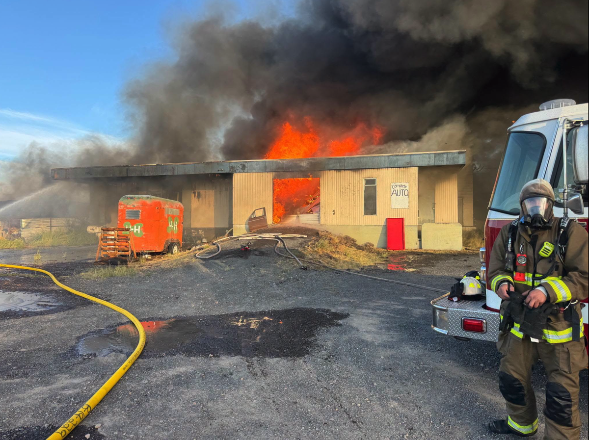
REDMOND, Ore. (KTVZ) — A high-speed rollover crash on Highway 97 in Redmond on Sunday brought down power lines and temporarily closed a section of the road. The driver involved in the crash was arrested and cited for driving under the influence of intoxicants (DUII).

The crash occurred in the afternoon near 61st Street, specifically on U.S. 97 northbound near milepost 128, between Southwest Young Avenue and a nearby excavation site. An Oregon Department of Transportation (ODOT) incident team member on scene told KTVZ News that the driver lost control of the vehicle at high speed.

The driver of the black Mazda then struck a telephone pole and rolled across multiple lanes of traffic, causing power lines to fall onto the highway and block both directions of travel for a time.

The driver was transported to St. Charles of Redmond following the crash. At the hospital, the driver admitted to consuming alcohol earlier in the day and displayed additional signs of impairment. Consequently, the driver was placed under arrest for DUII and cited in lieu of custody.

The black Mazda was later towed from the scene by Trac Towing.

Click here to follow the original article.