Reports of weather radar outages last week were false, but what could one mean for forecasters?

SAN DIEGO, Calif. (KESQ) – Radar is a vital tool for weather forecasters far and wide.
The National Weather Service uses radar to collect data in remote, faraway places. It can help their forecasters make informed decisions about issuing advisories and warnings to keep people and property safe.
 Map of NEXRAD network (NOAA)
Southern California is fairly well-covered when it comes to weather radar systems. Four stations are used in tandem to paint a comprehensive picture of precipitation in the region, and consist of the following:
KNKX, near Poway, in San Diego County KSOX, in the Santa Ana Mountains of Orange County KEYX, east of Edwards Air Force Base, near Boron KYUX, in Yuma, AZThese four are just part of a network 160 NEXRAD (Next Generation Weather Radar) high-resolution S-band Doppler radar systems that are jointly operated by the National Weather Service, Federal Aviation Administration, and U.S. Air Force.
Last Friday, amid the national ground stop, reports came out that the National Weather Service’s radar services also experienced an outage. Soon after, the agency clarified those reports were false and there were no outages involving their systems.
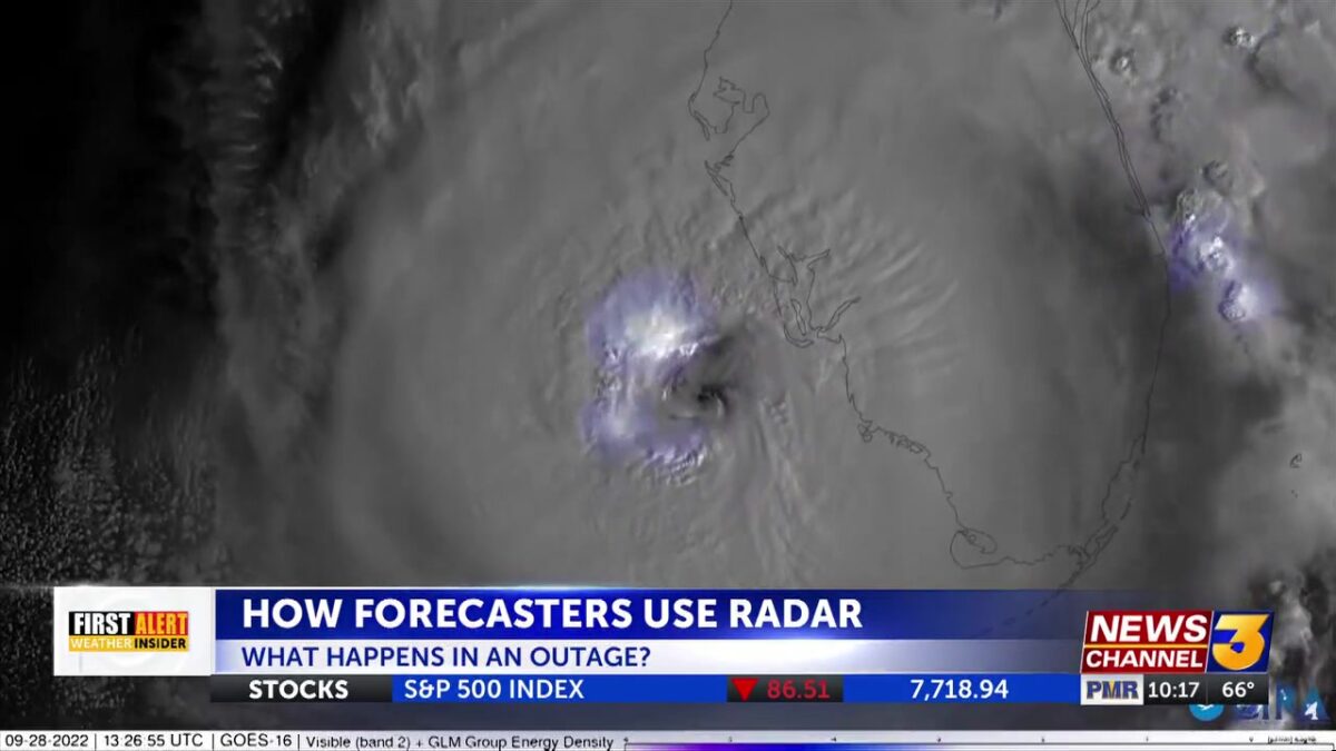
If an outage were to happen, though, meteorologists with the agency’s San Diego office said they have a number of other tools that would help them fulfill their mission of keeping the public safe.
“If there ever happened to be a radar outage, we aren’t completely blind,” affirmed Casey Oswant, a meteorologist with NWS San Diego. “We always have those satellites there and other ground-truth [stations], like weather stations and weather sensors, that give us an idea of what is actually happening.”
The position of the Coachella Valley, nestled in between several tall mountain ranges, is another factor that can cause a headache for forecasters.
Doppler radar works by sending out a beam of radio waves into the sky. Those waves bounce back when they hit an object, like falling rain, snow, hail – and even things like migratory birds. That’s why hills and mountains that block a radar site’s line of sight can be problematic. The valley’s radar coverage can be spotty, even with four radars covering our region.
As such, the exact same strategies are in play for both outages and poor coverage: an emphasis on satellites and ground-truth stations that can report rainfall totals.
“We’re still able to do our jobs and issue those warnings to help people take action,” said Oswant.
For now, the Coachella Valley will have to live with its sometimes-spotty radar coverage. We asked the agency if there were any plans for improving that radar coverage by installing a local radar system, but they said that would ultimately fall on the policymakers.
Stay tuned for our full report at 10 and 11 o’clock on News Channel 3.
Click here to follow the original article.