How satellite tech, AI could help El Paso prepare for the next big storm

EL PASO, Texas (KVIA) — University of Texas at El Paso’s Department of Civil, Environmental and Construction Engineering team is working on a two-year research project that combines satellite imagery, Earth observation data and artificial intelligence to map areas affected by flooding in El Paso.
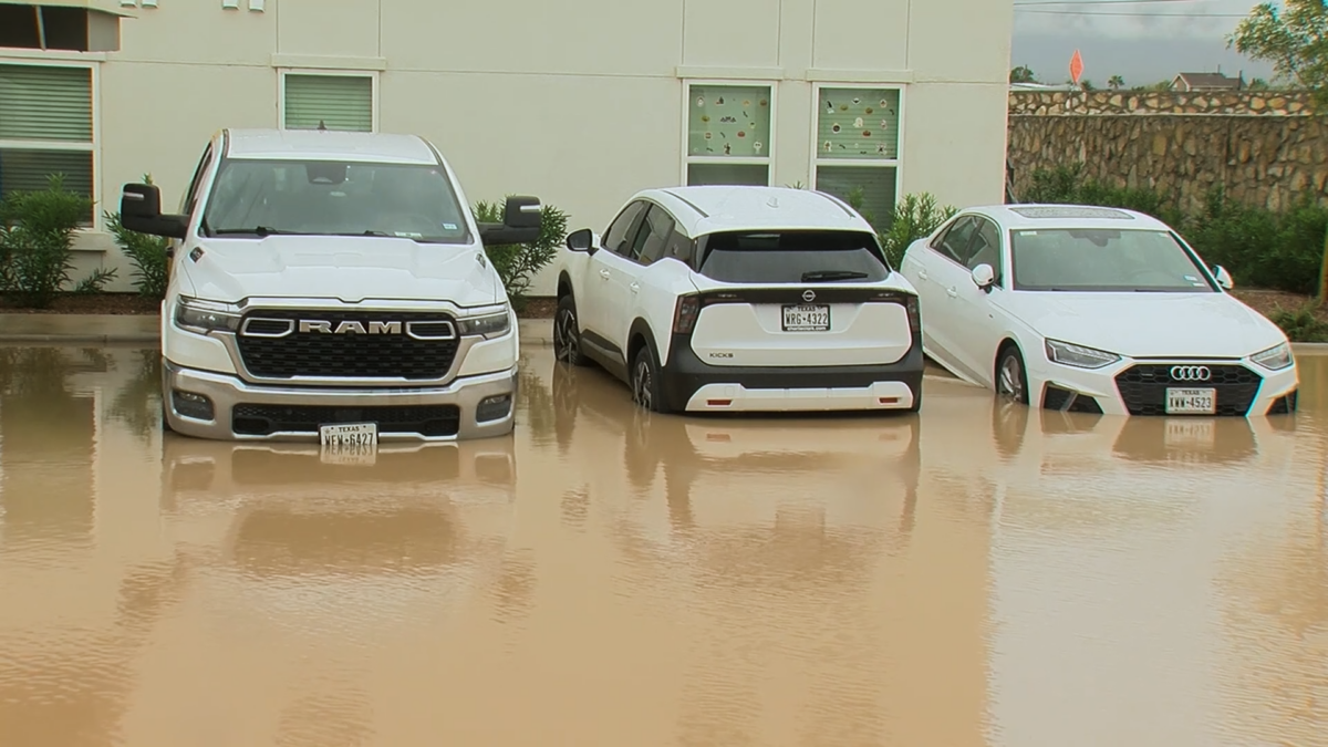
After heavy rainfall left extensive damage across parts of El Paso in September, UTEP researchers used space technology and A.I. to learn how the region can prepare better for future monsoon seasons.
A multidisciplinary team designed its project to map flood-affected areas in real time.
Partnering for Faster Emergency ResponseThe researchers are collaborating with El Paso Water, the city’s municipal water utility, to explore how advanced satellite data from NASA can aid ground crews during post-storm recovery.
By analyzing high-resolution data immediately after a severe storm, the system aims to help utility teams identify flood zones, prioritize infrastructure inspections in high-risk areas and assess damage faster.
Urban environments present unique challenges for A.I. Buildings, parking lots and standing water could confuse standard optical imagery. To move past this obstacle, the research time combined standard satellite pictures with Sentinel-1 radar data, which can penetrate thick cloud cover during active storms.
By fusing these distinct data sources, the researchers hope to evaluate whether A.I. can reliably distinguish actual floodwaters from urban structures, giving city officials a much clearer operational picture when every minute counts.
An Interdisciplinary EffortThe project brings together experts across civil, environmental, and systems engineering. Participating UTEP faculty members include:
Jaeyoon Kim, Ph.D., Assistant Professor (Civil, Environmental and Construction Engineering) Jeffrey Weidner, Ph.D., Associate Professor (Civil, Environmental and Construction Engineering) Sungmin Youn, Ph.D., Associate Professor (Civil, Environmental and Construction Engineering) Niamat Hossain, Ph.D., Assistant Professor (Industrial, Manufacturing and Systems Engineering)UTEP’s research aims to transform raw satellite data into a proactive shield, ensuring El Paso is safer and more resilient before the next monsoon season arrives.
ABC-7 reached out to the research team to learn more about the research project.
Click here to follow the original article.