Weather Alert Day: Extreme heat continues Tuesday

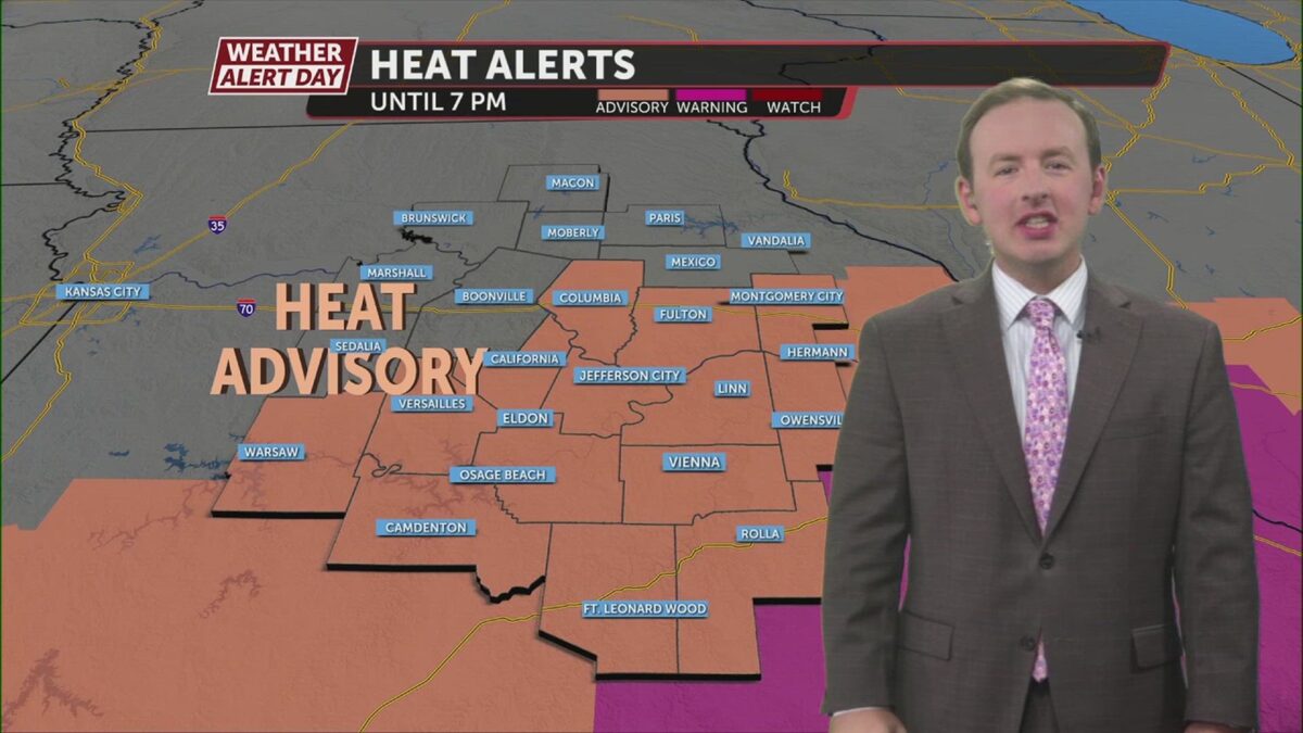
The ABC 17 Stormtrack Weather Team has issued a Weather Alert Day for Tuesday as dangerous heat lingers one last day.
 A Heat Advisory replaces the Heat Warning for areas that may still feel a 100-105 degree heat index on Tuesday.

The upper-level ridge, or “heat dome,” is sliding west. As this happens, it makes it more likely for us to catch disturbances traversing the dome’s edge. This brings a chance for showers and clouds today that may limit heat in the north and west. Additionally, a cold front is slipping in from the northeast, although this won’t correct our airmass until Wednesday.

Lower humidity is forecast for Wednesday and Thursday.


Remember to stay hydrated with plenty of water and electrolyte drinks if you do have to spend longer periods of time outside. In these conditions, all age groups can experience heat-related illnesses and heat exhaustion. Take breaks indoors and make sure your pets have a cool place to rest, along with plenty of water. Limit their walks to around dawn or dusk to keep them safe in these conditions.
Click here to follow the original article.