Stormy Friday and monsoonal moisture staying on the weekend radar

Danielle Mullenix
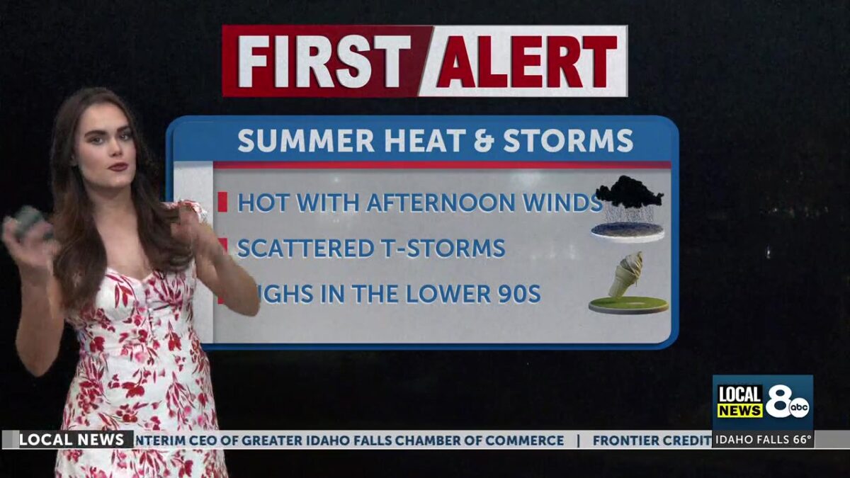
Make sure to pack an umbrella today, as we are expecting rain, lightning showers, thunderstorms, and the possibility of hail across the region this Friday. Monsoon moisture will linger through next week, resulting in daily chances for showers and thunderstorms. Today is the most weather-impactful day of the weekend ahead, with thunderstorms likely to be more widespread across eastern Idaho and western Wyoming.
Thursday overnight hours brought chances of showers and thunderstorms in from the South, with partly cloudy skies and overnight temperatures falling to around 60 degrees across the Snake River Plain. While not everyone will see rain, a few storms could linger into early Friday morning.
A Red Flag Warning is in effect this Friday as storm chances with heavy lightning become more prominent across Eastern Idaho and Western Wyoming. A mix of clouds and moisture will create a more humid atmosphere around the Snake River Plain in the early morning hours. Critical fire conditions are on the rise for the afternoon forecast over the higher elevation areas near Island Park and Salmon. Thunderstorms will begin rotating around the Snake River Plain around 2 pm, then push northward into the evening hours. High temperatures are still relatively high today, with many places at 90 in the late afternoon. Wind gusts will also climb up to
Saturday will still have a threat of heavy local rainfall in the forecast, as monsoonal moisture continues to move into the region from the South. Expect drier conditions to return on Sunday, but we will still have a slight chance of scattered rain and thunderstorms pushing through the more elevated regions. High temperatures are warming slightly over the weekend, with most of Eastern Idaho and Western Wyoming in the lower to mid-90s. Fire restrictions will also be strictly enforced, with weather conditions increasing the risk of wildfires. Plan accordingly. While not everyone will see rainfall… localized downpours, lightning, and gusty winds will remain a possibility through the weekend.
RED FLAG WARNING IN EFFECT FROM NOON TO 9 PM MDT FRIDAY FOR SCATTERED THUNDERSTORMS:
The National Weather Service in Pocatello has issued a Red Flag Warning for scattered thunderstorms, which is in effect from noon to 9 PM MDT Friday.
IMPACTS…Scattered thunderstorms can produce frequent lightningThat may, in turn, produce wildfires that start in receptive fuels.
THUNDERSTORMS…In the Sawtooth NF, which is north of the SnakeRiver, the thunderstorms will be a mixture of wet and drythunderstorms, while south of the Snake River in Zone 427 thethunderstorms should be nearly all dry, less than 0.10 of aninch rainfall accumulation.
