Stormy heat rising this Thursday and heading into the weekend ahead

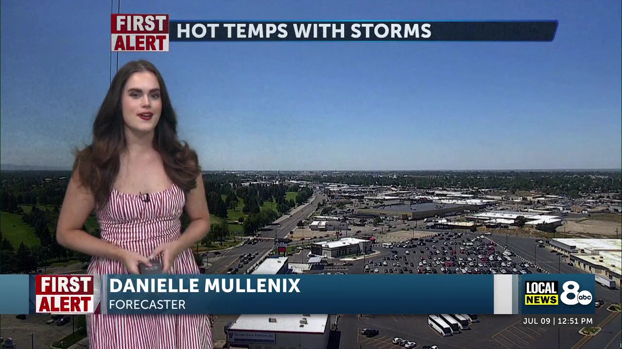
Danielle Mullenix
IDAHO FALLS, ID (KIFI) – It will be a hot day, with temperatures expected to reach near 90 degrees this afternoon. With drier conditions, fire danger will increase throughout Thursday and into early next week. The forecast for Thursday also indicates lingering chances of thunderstorms from the Arco area to Idaho Falls, with gusty winds possible as temperatures rise.
Clouds will clear from the region this morning, allowing plenty of sunshine early Thursday, a precursor to the hot conditions later in the day. Due to the hot and dry weather, a heat watch will be in effect for much of Eastern Idaho.
Temperatures in the Snake River Plain will climb to around 90 degrees by late afternoon, with minimal precipitation expected, aside from a few stray thunderstorms near the ridges of the Arco Desert and Mud Lake area. Wind gusts may peak around 20-25 mph, with slightly higher gusts in the Craters of the Moon area. Overnight lows will drop back to the 50s across the region.
Friday will be even warmer, with low to mid-90s expected throughout the area. High winds are expected to increase to 15-25 mph, and dry conditions will keep the fire risk elevated for the weekend.
The heat will continue to build over the weekend, with high temperatures reaching well into the 90s and potentially approaching 100° on Saturday and Sunday afternoons. Be sure to wear sunscreen and turn on your box fan to stay cool.