Warming conditions throughout Monday afternoon, possible record highs continue
Danielle Mullenix
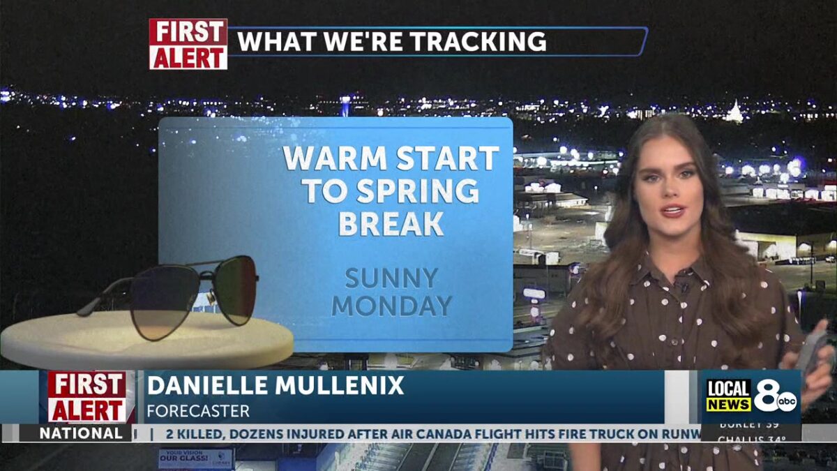
We’ll start this first full week of spring with warm temperatures and sunny skies. A pleasant start to the new season will also bring a continued run of record-high temperatures across the region, as a warming trend spills into the first half of the week.
On Monday, we’ll start the day off with temperatures climbing out of the 30s and into the 40s by 9 am. No weather hazards or impacts are expected on this day, as low clouds brush by in the early morning hours. High temperatures are expected to sit in the upper 60s this afternoon, then drop back into the 30s overnight lows. Wind gusts will peak today, generally around 15 to 20 miles per hour. Very little chance of precipitation in the region.
A small wind advisory will be in effect on Tuesday and Wednesday. The highest wind gusts are expected tomorrow, particularly in the late afternoon and early evening, reaching up to 35 miles per hour. High temperatures on both days will remain above average, in the upper 60s and lower 70s.

By Thursday, temperatures will begin to fall slowly as a minor cold front is expected to move across the region for the weekend. Slight precipitation in more mountainous areas surrounding the Island Park area, with stray showers as a possible forecast. We end the week colder than we started, with our highs in the lower 60s by Friday afternoon.