Dangerously Cold Weather Continues for Southeast Colorado
Nick Carter
A COLD WEATHER ADVISORY remains in effect for Southeast Colorado until 8 AM Sunday morning. This advisory stays in effect because wind chill temperatures as cold as -25 degrees F are likely in the affected area, which means that exposed skin can turn frostbitten in as little as 30 minutes. Although Colorado Springs and Pueblo are not in this affected area, please dress in layers if you have to be outside today through Sunday.
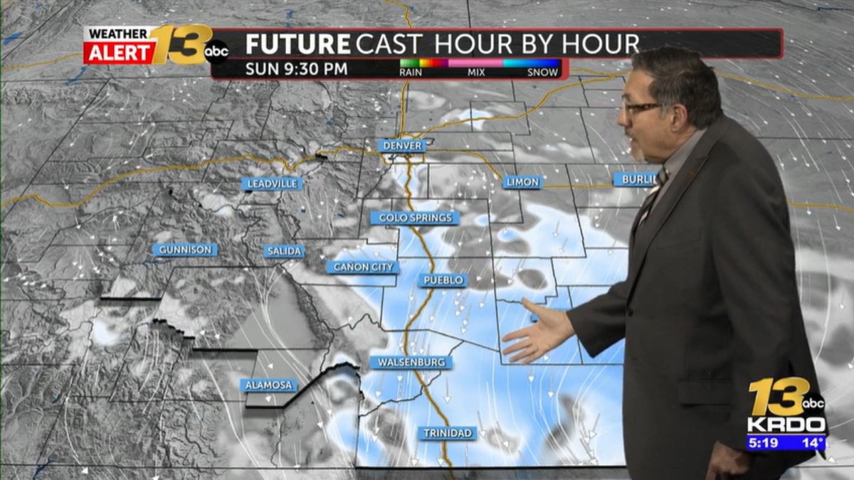
Pueblo, Canon City, and La Veta Pass are all under a WINTER WEATHER ADVISORY until 5 AM Sunday. These areas could see up to 5 inches of snow between Saturday night and mid-morning Sunday.
Skies will clear over Colorado Springs during the nighttime hours, and low temperatures will drop into the single digits above and below zero. Sunshine will return on Sunday morning, but then another shot of bitter cold air with afternoon snow showers returns during the mid afternoon hours. Expect daytime temperatures to reach the low 20s on Sunday, but then the mercury drops as those snow showers drop in from the north.
If you’re headed up north to watch the Denver Broncos play, plan on a kickoff temperature of 24 degrees, but the wind will make it feel like 13 degrees! There’s a 30 percent chance of snow showers throughout the game as well, but this will be light, fluffy powder that won’t really affect travel.
Temperatures in the 40s to near 50 degrees return to Southeastern Colorado during the work week. Until then, stay warm!