Cloudy skies through Thursday afternoon, with winter storm watch in affect for the weekend
Danielle Mullenix
The residual snow and sunshine from yesterday will give way to cloudy, stormier weather, with conditions picking back up this evening. A winter storm watch is in effect for the mountains and highlands of eastern and southeastern Idaho, as well as western Wyoming. The storm is expected to start Thursday afternoon and continue through Saturday morning. This will likely be the first major snowfall of the year for some mountain areas, with forecasts predicting 1 to 2 feet of new snow.

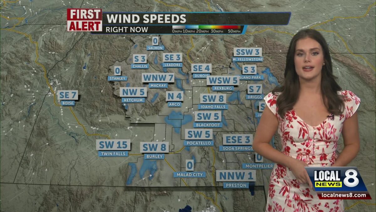
Expect mostly cloudy skies throughout Thursday morning and afternoon. Scattered snow showers return in the evening with highs in the lower 30s. Southwest winds will push through the southeast Idaho region throughout the day, with speeds up to 10-15 mph and gusts up to 25 mph. Lows are expected to be in the mid-20s.
Friday continues the scattered pattern of snow and rain, with a 50% chance across Southeastern Idaho. Expect rain and snow by Friday evening, with precipitation chances reaching 60%. We will see a mix of snow and rain throughout the weekend.