Breezy Conditions continue for Tuesday with a slight warm-up

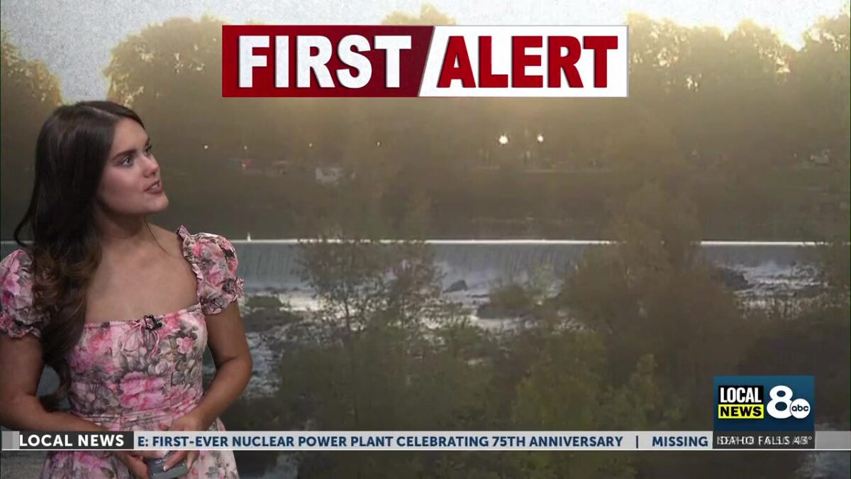
Grab a light jacket heading out the door this Tuesday morning, with a combined chill from early-morning lows in the 40s and a light breeze across Eastern Idaho and Western Wyoming. We start warming up for the week ahead, however, with high temperatures climbing back up into the mid-to-upper 70s later this afternoon.
Very light clouds loom over the region Tuesday morning, with a slight chance of showers in the Northern corner of Fremont County. Low humidity is expected in the Snake River Plain and Southeastern elevations. Red Flag conditions could develop by Wednesday as low humidity coincides with rising temperatures. We could also see a return of rain showers and thunderstorms by this weekend.
Gusty winds continue through Eastern Idaho and Western Wyoming this Tuesday, with high temperatures ranging from the upper 60s to mid 70s. Wind gusts are expected to be slightly smaller than yesterday, but still approaching the 20-mile-per-hour range. Low humidity and sunshine will cause for lots of clear blue skies across the region. Overnight lows will return to the 40s later this evening and early Wednesday morning.
Wednesday’s forecast will look very similar to today’s, with low humidity raising concerns about Red Flag warnings in dense forest areas and elevated regions. We’re tracking the latest weather updates for you here on Local News 8.
Click here to follow the original article.