Thunderstorms on Tuesday to continue pattern of wet weather

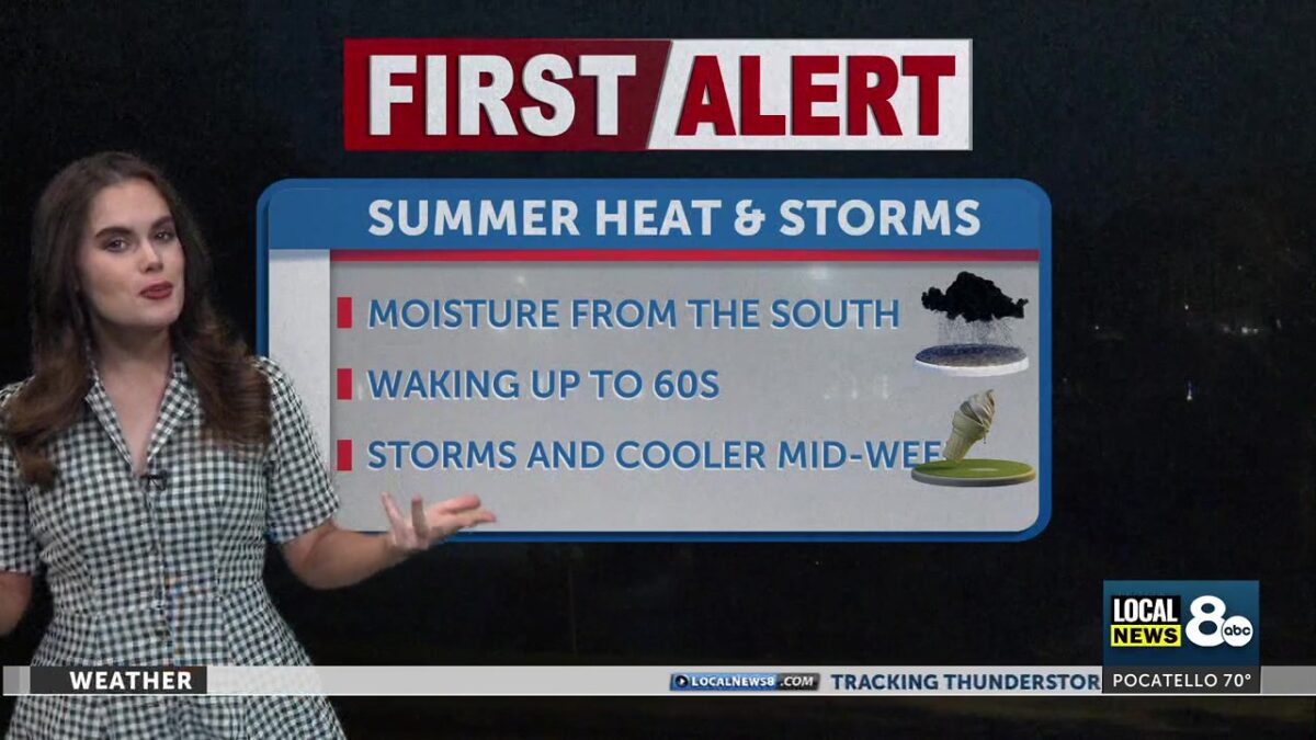
Storms on this Tuesday will remain scattered and sporadic as we continue to experience monsoonal moisture driving through the area from the South. Local heavy rainfall could be expected this afternoon, with wind gusts climbing up to 25 mph in the late afternoon and slightly cooler temperatures.
The storm pattern from this weekend continues to cover our region with high-sitting clouds over Eastern Idaho and Western Wyoming this early Tuesday morning. Daily chances for showers and storms increase toward Wednesday as monsoonal moisture pushes through from the Southwest. Expect these isolated storms to pop up mainly over the east and southeast highlands, with a few that creep into the Snake River Plain later this afternoon.
Temperatures today will be slightly cooler, with numbers dropping below the average and what we observed yesterday. Mid 90s across the lower elevations into the afternoon hours, with lows dropping into the lower 60s and 50s. Winds will stay generally 20- 25 mph after 4 pm.
Storm chances pick up across the region on Wednesday, with temperatures cooling into the 80s and wind gusts jumping up to 50 mph. Lightning chances will also increase, meaning a wildfire watch will most likely follow in its wake. As the monsoonal moisture wraps its ridge around our region tomorrow, most of these isolated rain showers and storms will begin to leave, meaning the rest of the week will start to dry up. Expect this day to be the heaviest with storms.
Expect temperatures to start climbing back up by Thursday, with more sunshine heading towards the weekend. By Thursday, a majority of the major storm system will be sitting East of the Montana mountain divide.
Click here to follow the original article.