The heat arrives today, tracking dry and warm conditions

Andie Lopez Bornet
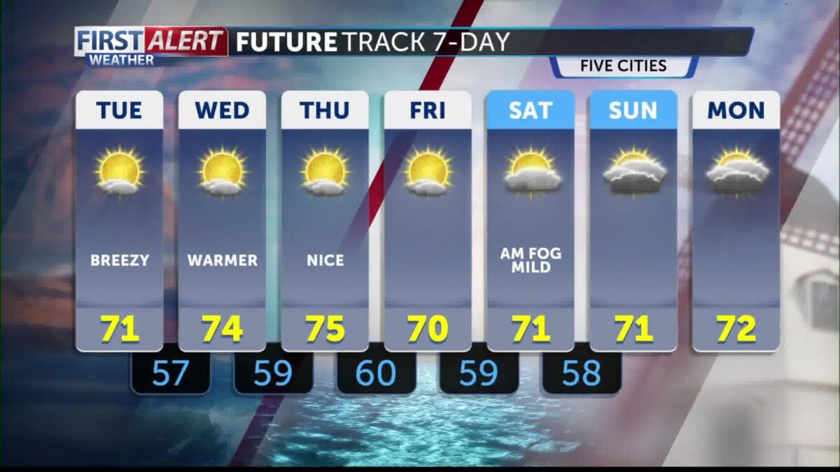
SANTA BARBARA, Calif. – Good morning! The heat arrives today and it is here to stay! Weak onshore flow will continue to bring low cloud cover to the coasts and coastal valley areas. The region can still expect marine layer each morning through the week.
A heat advisory will go into place today at 10 a.m. until 8 p.m. Thursday evening. The advisory affects areas away from the coasts, which includes the valleys and interior areas, stretching from Paso Robles all the way down to Los Angeles county. During the advisory, temperatures will reach into the 90s to triple digits, with the higher terrain mountain areas reaching up to 103 to 105 degrees. Continue to stay hydrated and use caution.
These dry and warm conditions are always bring fire concerns. Winds are also a concern as sundowner winds will build each afternoon and progress overnight. A wind advisory is in place until 6 a.m. this morning with speeds 20-30 mph and gusts up to 45 mph. It is very possible it can be reinstated this evening again.
A ridge of high pressure sits over the four corners and will move West Wednesday, making Wednesday and Thursday the hottest days of the next seven. By Friday, some relief returns but temperatures still near normal for this time of year.