Changing checkpoint locations along Highway 67 in Fremont County pose more challenges

Scott Harrison
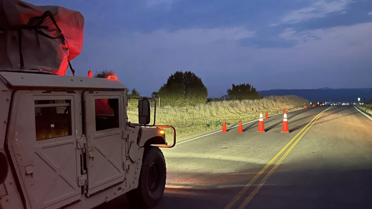
FREMONT COUNTY, Colo. (KRDO) — In addition to restricted access through the Highway 67 checkpoint south of Florence for the ongoing Aspen Acres wildfire, drivers also must adjust to occasional changes in the checkpoint’s location.
When authorities placed the ten-mile stretch between Florence and Highway 69 in Custer County on pre-evacuation status last Thursday, the checkpoint was located at the Highway 67/County Road 15 intersection — but it was removed later that morning in favor of the larger checkpoint at the Highway 67/Highway 69 intersection.
→ Follow KRDO’s continuous coverage of the “Aspen Acres” wildfire here

However, when southern Fremont County switched to a mandatory evacuation on Sunday night, the checkpoint was established closer to Florence, at the Highway 67/County Road 100 intersection.
County Road 100 was the northern boundary of the evacuation zone, and drivers were allowed to turn there and proceed west.

Just before noon on Monday, the checkpoint moved south to the Highway 67/County Road 15 intersection.
And on Tuesday morning, a KRDO crew arrived to find that the checkpoint had moved back to the Highway 67/County Road 100 intersection — and the National Guard said that County Road 100 is now closed.

Colorado National Guard personnel manning the checkpoint said that they are not told why certain roads are closed; they are only responsible for managing checkpoints requested by local authorities.
The current checkpoint location may make it more difficult for drivers of large vehicles to turn around.

Traffic was fairly steady at the checkpoint on Monday as the National Guard tried to determine who had clearance to enter the evacuation zone; many drivers were evacuees hoping to check on livestock or other property concerns because they didn’t have time to do so when the mandatory evacuation began.