Insider Blog: Heavy rain returns Thursday into Friday, dangerous heat by Sunday
Jessica Hafner
After a quiet start to the week, we’re in for a more active pattern to close out the work week, followed by intense heat that sets in by the weekend and carries over into next week.

We’ll have a few factors at play with a heavy rain setup between Thursday and Friday. Gulf moisture continues to stream into the region, and dew points will increase to the 70s for the end of the week as winds shift to the south.


Precipitable water values will be quite high, reaching near 2 inches between those two days. Precipitable water is the amount of liquid that would fall if all of the water vapor in a column of air from the top of the atmosphere to the ground were condensed. Viewed as an index, 2 inches is significant because it indicates high moisture content in the atmosphere, even for early summer. This 2-inch mark, however, is not a direct indication of how much rain we expect to fall. In other words, a precipitable water value of 2 inches doesn’t necessarily mean we’ll get 2 inches of rain.
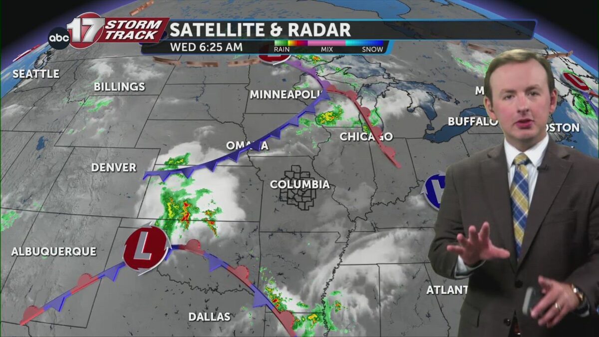
A big part of how much rain we are forecasting has much to do with how long it rains. A low-pressure system working in from the northwest will drag a slow-moving cold front into the area on Wednesday. It stalls out, allowing waves of energy to move through the jet stream along the boundary, triggering rounds of storms between Thursday and Friday. When storms repeatedly move over the same area, they’re known as “training” storms, sort of like a line of cars on a locomotive moving along a straight path. Our “train track,” so to speak, is the stalled front. Training storms often bring appreciable rainfall and flooding concerns.


The Weather Prediction Center has much of the state in a slight risk for excessive rainfall on Thursday into Friday. A range of 1-3 inches of rain is possible, with isolated totals of 3-4 inches possible depending on where the front stalls.

As storms move in south of the front on Thursday evening, strong winds may be possible from our strongest storms.

Rain and storms come to an end on Saturday as the front lifts back north, shifting our focus from flooding to dangerous heat. A dome of high pressure builds to our south, pulling in moisture-rich air from the south as dew points rise into the 70s along with highs spiking into the 90s.


The heat index could reach the triple digits with readings between 100-103 through early next week.