Tornado touched down in Boone, Callaway counties during Friday outbreak
Matthew Sanders
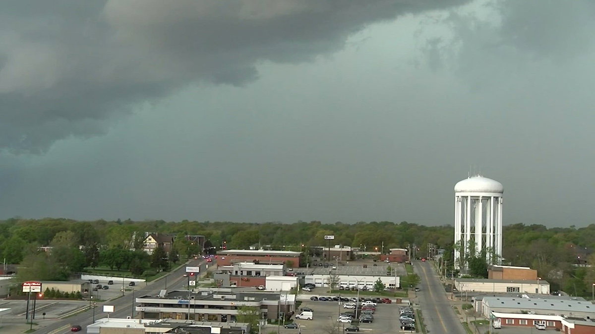
COLUMBIA, Mo. (KMIZ)
A National Weather Service team identified damage from an EF-0 tornado Monday after it ripped through Hartsburg and crossed the Missouri River toward Fulton.
The tornado, with winds of about 85 mph, caused sporadic tree damage partially tore the roof of a hangar at the Fulton-Elton Hensley Memorial Airport on Friday. The weather service thinks the tornado touched down and lifted up multiple times along the track.
The severe weather outbreak led to at least six tornadoes that have been identified in or close to Mid-Missouri on Friday night: three in Morgan County, two in Benton County and the newly tracked twister in Boone and Callaway counties.
Crews with the NWS spent Monday surveying storm damage in Moniteau, Cole, Callaway and Boone counties, including a stop in Fulton. A spokesman for the NWS said overall damage reports were limited on Monday afternoon, but added that they still had yet to visit multiple counties.
Callaway County EMS Director Charles Anderson said impacts were relatively minimal despite the length of the tornado’s track.
“A few trees falling down here and there, but nothing that impacted our response time or anything like that,” Anderson said.
In Boone County, emergency management officials also reported only minor damage within populated areas.
“As far as from citizens and public safety reports, we only had one report come in as a large tree down inside the actual city limits of Hartsburg,” Boone County Director of Emergency Management Chris Kelly told ABC 17 News.
Even with minimal damage reports, survey teams continue to examine even small indicators of tornado activity.
“They’re still looking at outcomes, even looking at minuscule any kind of signs of tornadic damage,” Kelly explained.
At the same time, the storm served as the first real-world test of Boone County’s automated outdoor warning system, CommanderOne, which was adopted in May 2025.
Outdoor warning sirens were activated four times on Friday evening, at 7:43 p.m., 8:02 p.m., 8:18 p.m., and 8:42 p.m., as multiple tornado warnings moved through the area.
The system allows sirens to be triggered based on National Weather Service warning polygons, targeting only areas under threat.
“Our old way was three districts or three zones, one in the north, one in the central, and one in the south county. That wasn’t precise because us as humans have to look ‘Where is the polygon? Alright, this is the north and central zone.’ So at that point you’re warning areas that are not impacted by the warning, and so this is very precise,” Kelly said. “You want to alert with precision the areas under threat.”
Kelly also emphasized that outdoor warning sirens are designed to alert people who are outside and should not be relied upon as the sole source of warnings.
“Outdoor warning sirens are for folks that are outside, do not rely just on weather sirens. Likely, most people this was forecasted. They’re inside. They’re not meant to be heard inside. They’re meant for the people that are outside working, recreating to go inside, seek information from local media, news, or website.”
Boone County emergency management officials said residents should have multiple ways to receive alerts, including wireless emergency notifications, NOAA Weather Radio and local media as the severe weather season continues.