Transportation leaders meet to tackle Varner Road dangers
Luis Avila
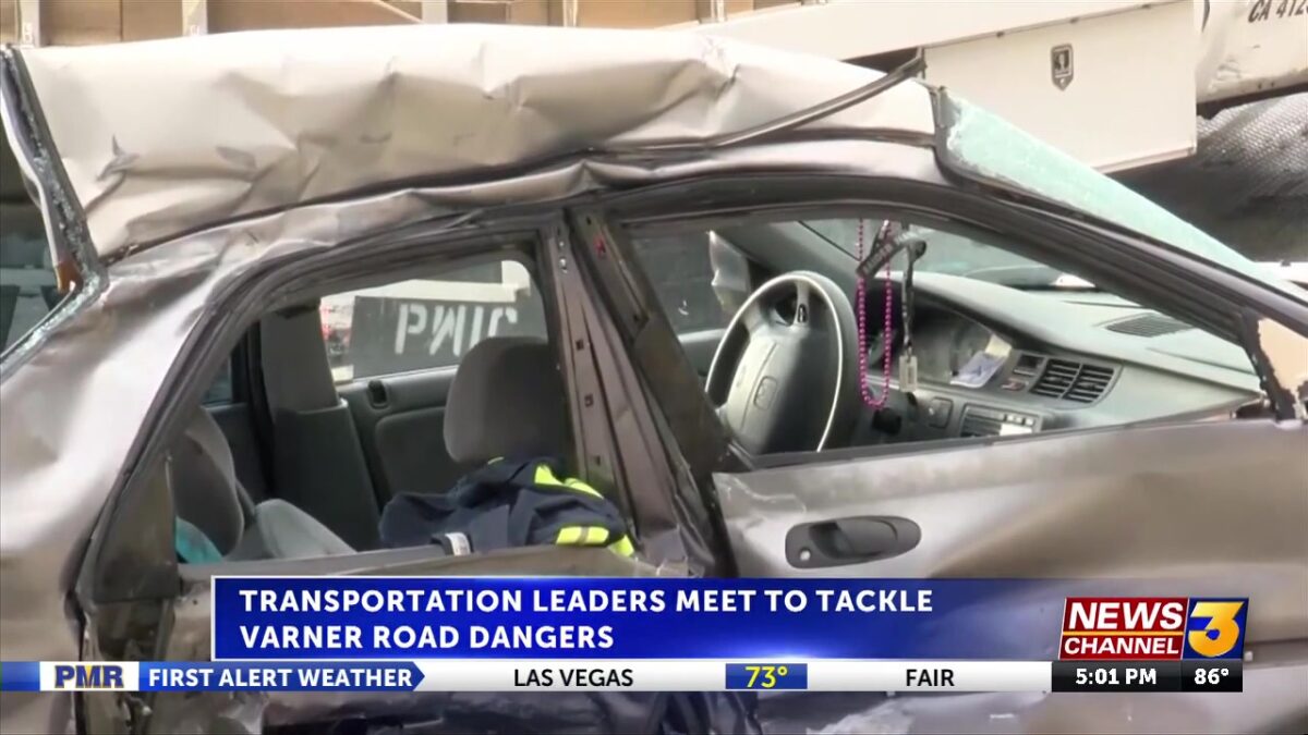
THOUSAND PALMS, Calif. (KESQ) — Varner Road has been identified as one of California’s five most dangerous roadways, according to a new state study.
State, county and local leaders gathered Tuesday at SunLine Transit Agency headquarters to review the study’s findings and outline next steps to improve safety along the corridor.
The Varner Road safety corridor spans 2.3 miles from slightly north of Bob Hope Drive to just south of Monterey Avenue in the Coachella Valley, according to CalTrans.

The stretch of roadway has experienced 17 fatal/serious injury (FSI) crashes between 2019 and 2023, resulting in four fatalities and 25 serious injuries.

As a result of the findings, Varner Road has been designated a “Priority Safety Corridor,” a status that allows agencies to fast-track safety improvements aimed at reducing crashes and serious injuries, including improvements to stripes, guardrails, mediums and visibility.
Plans for these improvements could be ready as soon as this upcoming June.
Corridors were identified in partnership with UC Berkeley SafeTREC using a High Injury Network method applied to five years of crash data (2019–2023, with 2023 provisional). Sites rose to the top based on analysis of safety data, varied contexts and partner readiness.
Success will be tracked through reductions in fatal and serious-injury crashes. Leading indicators — such as vehicle speeds, conflict points and telematics data (including braking and acceleration patterns) — will help detect risk early and guide proactive adjustments.
This comes as CVAG, which was also present, is already working to improve a 22-mile section of Varner Road, known as CV Sync.
Stay with News Channel 3 for more.