Sunny and breezy Friday to waltz into the cooler weekend
Danielle Mullenix
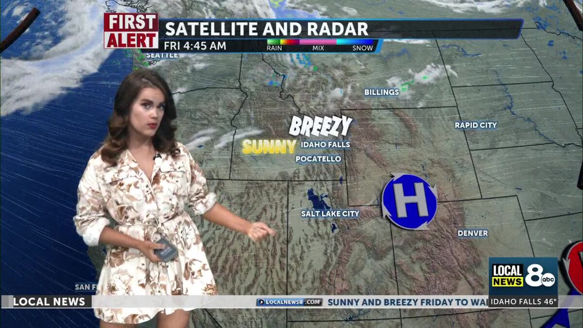
Spring-like conditions will continue through Friday, with the sunny and breezy weather from yesterday carrying into today’s forecast. High temperatures are expected to reach the upper 60s and lower 70s, which are normal for mid-May. However, we will begin to see a slight cooldown over the weekend as cold air from the north moves into the region. Winds will be from the west and southwest at speeds of 15 to 25 mph, with gusts potentially reaching up to 35 mph.
This weekend, we’ll see low pressure working out of the north, which will lower temperatures. We could also see scattered rain and snow on Sunday and Monday. A new northerly trough will present a shakeup in the weather by Sunday afternoon. Freeze conditions possible through early next weekend as a result.
Increasing clouds through our Saturday, with high temperatures cooler into the lower 60’s. Breezy, with a southwest wind of 15 to 25 mph for the afternoon. Winds could gust as high as 35 mph.
On Sunday, expect rain and snow showers from noon until around 3 PM, followed by scattered rain showers in the afternoon. There could also be some thunder later in the day. High temperatures will reach the upper 40s to lower 50s, and will drop about 20 degrees over the weekend. The chance of precipitation is about 30%, and little to no snow accumulation is anticipated. Additional scattered rain and snow may occur late Sunday night into early Monday, with overnight lows dropping to the lower 30s.
Lake Wind Advisory issued May 14 at 7:31 PM MDT Until May 15 at 9:00PM MDT by NWS Pocatello ID
* WHAT…West winds 20 to 25 mph with gusts up to 35 mph are expectedfor American Falls Reservoir.
* WHERE…American Falls Reservoir.
* WHEN…From 10 AM to 9 PM MDT Friday.
* IMPACTS…Strong winds and rough waves on area lakes will createhazardous conditions for small craft.Boaters on area lakes should use extra caution since strong windsand rough waves can overturn small craft.