Crews hold Foley Ridge Fire to under 500 acres, now 40% contained; evacuation notices reduced to Level 1
Barney Lerten
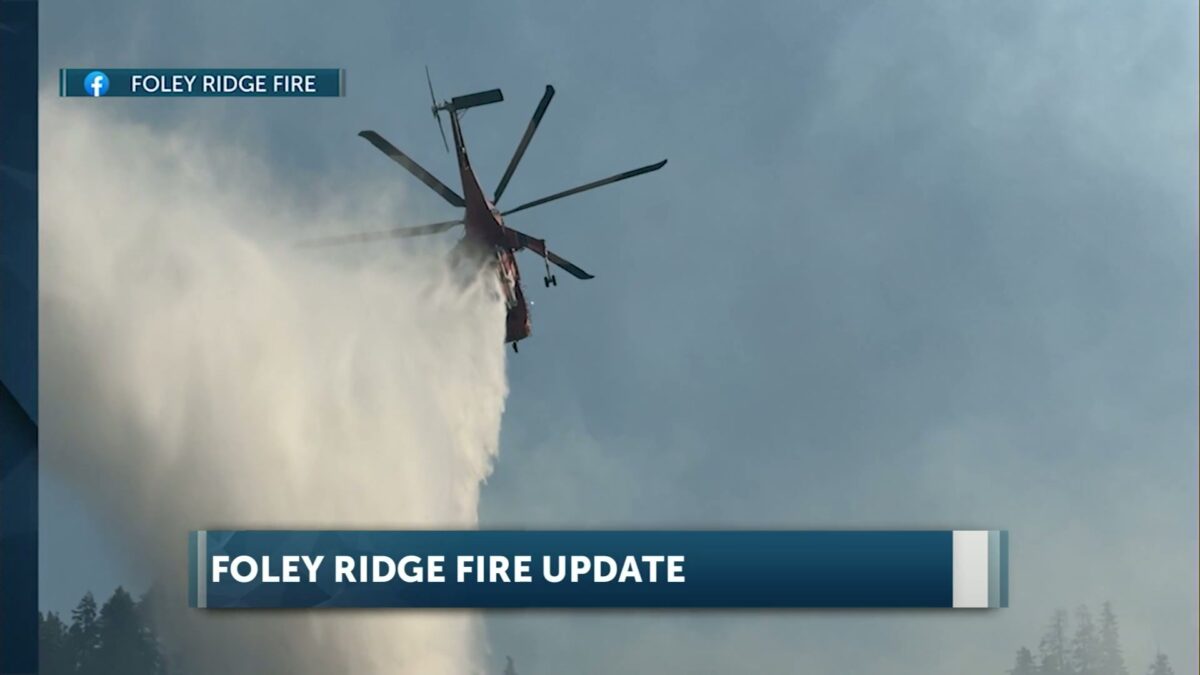
McKENZIE BRIDGE, Ore. (KTVZ) — More than 360 firefighters continue to battle the lightning-sparked Foley Ridge Fire on the Willamette National Forest east of McKenzie Bridge, bringing the blaze to 40% containment. Evacuation notices have been reduced to Level 1 (Be Ready), but Oregon Highway 242 remains closed.
Here’s Tuesday morning’s update on the Foley Ridge Fire:
Start Date: 09/06/2025
Percent Containment: 40%
Size: 497 Acres
Cause: Lightning
Personnel: 362
Overview: The Foley Ridge Fire is 40% contained. Fire activity remains minimal across most of the fire area, with creeping, smoldering and backing behavior. Hotter and drier conditions are forecast over the next few days. Conditions may lead to increased fire activity; however, minimal fire growth is expected.
Central Oregon Type 3 Incident Management Team 1 will be transitioning with Nevada Team 4 on Wednesday September 24th. The incoming team has been fully briefed and will shadow Nevada Team 4 throughout today’s operational period to ensure continuity and a smooth transfer of command.
Ground crews are directly engaging the fire on all flanks where conditions permit. Operations include clearing ladder and ground fuels along the fire’s edge with a saw line, followed by handline construction. Once completed, crews will install water delivery systems – such as pumps and hoses – to support mop up, extinguishing or removal of burning material near the control line, efforts.
On the western flank, the handline is holding and containing the fire. Crews are working to further secure the line by extinguishing remaining hot spots. Mop up operations are progressing along the southern, northern, and eastern flanks where direct lines have already been established.
Weather: Hotter and drier conditions are forecast for the next few days, with mild southeast winds 5-8 mph.
Evacuations- Lane County Sheriff has downgraded evacuation notices to a Level 1 (Be Ready) for HWY 242, Yale Camp, White Branch Youth Camp, and private residences off HWY 242. For more information on evacuation status, please visit: https://experience.arcgis.com/experience/3293a4e0f6c1432f9d5b4e27380609fa/page/Wildfire-Evacuations
Closures – All areas, roads, and trailheads inside the boundary of this closure area are closed, including Foley Ridge Road (Forest Service Road 2643).
Closed campgrounds include Alder Springs Campground, Scott Lake Campground, Limberlost Group Campground. Closed Trailheads include Benson/Tenas Trailhead, Hand Lake Trailhead, Linton Lake Trailhead, Obsidian Trailhead, Proxy Falls Trailhead, Scott Trailhead, Rainbow Falls Trailhead, Separation Lake Trailhead. Inaccessible Trailheads include Foley Ridge Trailhead. For the complete Foley Ridge Fire closure order, including a map, visit our website at https://www.fs.usda.gov/r06/willamette/alerts/foley-ridge-fire-closure-order.
McKenzie River Highway (HWY 242)- HWY 242 is closed until further notice from HWY 126 intersection to MP 76. Please use an alternate route and expect delays. Visit Oregon Department of Transportation’s webpage for additional information https://tripcheck.com
For more information, visit the incident website: https://inciweb.wildfire.gov/incident-information/orwif-foley-ridge-fire