First Alert Weather Alert until 7pm, Showers & Storms Decreasing this Evening
Katie Boer
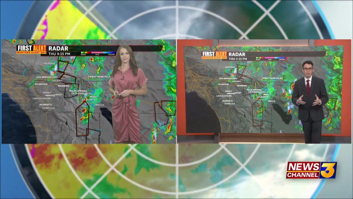
It’s been a wet and stormy Thursday across the Coachella Valley, with widespread showers and thunderstorms fueled by tropical remnants from Mario interacting with a low-pressure system to our northwest. Most of the storm activity concentrated over the mountains and deserts, but a few stronger cells moved into the northern Inland Empire and valley floor.

Several Severe Thunderstorm Warnings were issued throughout the afternoon and evening—including parts of the Coachella Valley, areas just north of Cabazon, and northwest of Desert Hot Springs. The most recent warning ended around 9:30 PM near Twentynine Palms. These localized storms brought brief heavy rain, nickel sized hail, and damaging wind gusts. In some locations, rainfall rates reached up to 1.5 inches per hour.
There has also been significant lightning activity, with thousands of lightning strikes across the region in the last 24-hours, including several hundred cloud-to-ground strikes, so hazardous conditions for many.Currently, a Flood Watch remains in effect through 2:00 AM Friday for much of Southern California—including the Coachella Valley, San Gorgonio Pass near Banning, and surrounding mountain and desert areas. Excessive runoff from these downpours could still lead to flooding in flood-prone areas.

Tonight, lingering storms from earlier activity, are weakening and expected to clear out. While tropical remnants still drift over the region overnight, our chances of additional showers or storms is pretty minimal.
Looking ahead, we’ll see gradual drying and warming Friday into Saturday. But conditions stay sticky Friday.

Another low-pressure system off the coast may help draw in additional tropical moisture early next week, but there will likely be changes to the forecast models this far out. By the latter half of next week, drier and warmer conditions are expected to return as high pressure builds back in.
