Hot temperatures for Labor Day, cooler conditions on the way
Andie Lopez Bornet
The Central Coast has been experiencing hot weather the last few days, perfect for the holiday weekend. For today, the heat will continue. A hot air mass is persistent and keepings things hot over the region. The high pressure system will stay put for the next couple of days over the four corners. Monsoonal moisture will arrive again on Monday night, which will bring back the possibility for thunderstorms in higher terrain areas of Santa Barbara and Ventura county.
A heat advisory remains in place until 6 p.m. Tuesday evening for interior areas like Cuyama Valley, Santa Barbara, San Luis Obispo. Temperatures may exceed 95 degrees and reach 105 degrees, with overnight lows being on the warmer side. It’s important to stay hydrated and check on loved ones and pets.
A beach hazards statement is in effect until 11 p.m. Monday evening for beaches in San Luis Obispo, Santa Barbara and Ventura. Elevated surf will be 6-7 feet, with dangerous rip currents. For those headed to the beach for the holiday, be sure to use extra caution.
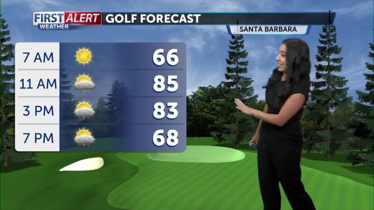
Temperatures today will be toasty! The coasts will be in the 80s, the valleys in the 90s and inland areas reaching triple digits once again.
The good news is – cooling is on the way. While temperatures will still feel warm, many areas will drop 10 degrees by Tuesday. By the end of the week, the hot air mass will start to exit, and the marine layer will return with mild temperatures. Overall, it will be a lovely start to September.