Brief Break before Monsoonal Storms Return Tuesday
Katie Boer
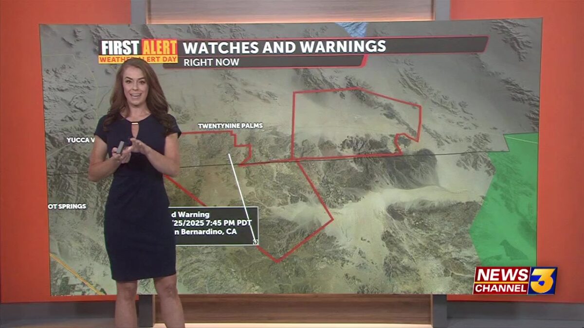
Storms rolled through the mountains and deserts, including the Coachella Valley–Monday afternoon. These storms triggered a Severe Thunderstorm Warning and even Flash Flood Warnings throughout the region, finally expiring around 7:45pm.

Several locations reported over 1″ of rainfall. At Palm Springs International we broke the daily precip record, totaling 0.44″ of rain. We saw localized downpours around the valley–enough so to trigger a weather closure at the Tramway.

We had hurricane force winds west of the valley in Perris, where one gust was reported at 76mph. PSP with gusts as high as 54mph. Though no airport closures were reported.

We’re quieter and calmer overnight with many of the road closures we saw Monday reopened.
 Courtesy: Chris Tarpening
Our First Alert Weather Alert does remain in effect through Tuesday for possible storms and flooding risk.Tuesday storm chances shift north, bringing the greatest threat for thunderstorms and heavy rain in the San Bernardino Mountains and the High Desert, though the Coachella Valley may also see a little afternoon/evening activity. If those storms pop up again we could see isolated downpours, flash flooding, hail, and dangerous outflow winds.

By midweek, storm chances decrease quite a bit and we begin to shift to a more stable, seasonable pattern with a slight warming returning by the weekend.
