Looking back at the Santa Cruz Harbor’s tsunami history
Jeanette Bent
SANTA CRUZ, Calif. (KION-TV) — The Santa Cruz Harbor is no stranger to tsunamis of a variety of sizes.
In the past, some of these large waves have caused significant damage and even death.
The most recent tsunami advisory — which took place between July 29 and 30 after a massive 8.8 magnitude earthquake struck off of a low-populated section of Russia’s eastern coast — fortunately caused little to no damage to the Santa Cruz Harbor area.
“The Santa Cruz Harbor faces a direction of due south, so depending on the direction of an incoming tsunami will determine the amount of damage,” said a representative from the Santa Cruz Harbor.
The waves coming into the Harbor Wednesday morning were certainly tamer than some of the past tsunami activity that the Harbor had seen in the past.
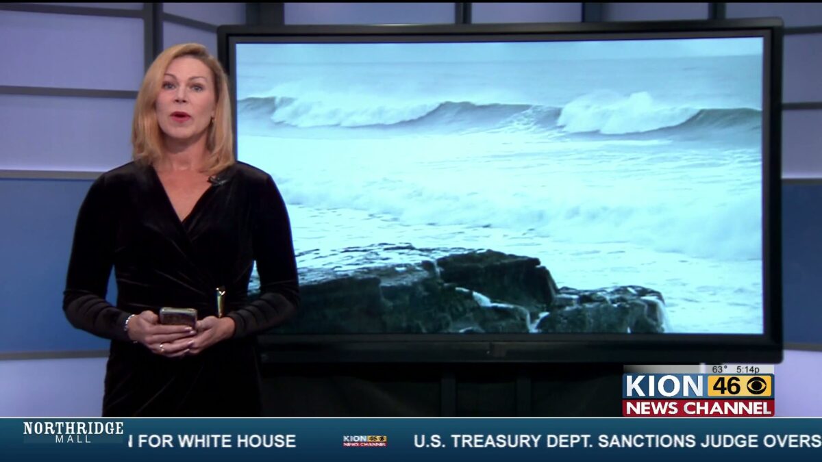
 Santa Cruz Harbor, tsunami advisory July 2025
A History of Tsunami Activity in Santa Cruz
On April 1, 1946 a tsunami struck in Santa Cruz, creating 10-foot waves that swept a man into the ocean at Cowell Beach, according to the University of California, Santa Cruz (UCSC).
That tsunami was generated by an 8.6-magnitude earthquake in Alaska’s Aleutian Islands.
Then, in 1964 and more recently in 2011, the Santa Cruz Harbor received two different tsunamis spawned by quakes in Alaska and Japan, respectively, totaling a 9.0 and 9.2 quake.
The Harbor suffering between $15 and $20 million in damage.
The Tonga Volcanic eruption from the South Pacific that took place in 2022, left the Harbor with between $8 and $10 million in damage.
“Based on eyewitness and video observations of the tsunami in Santa Cruz Harbor, most of the surveyed tsunami and runup heights are the result of inundation from the highest wave around 8:50 PST,” wrote the USGS online.
“You have the first wave of the tsunami that comes in and then impacts the coast, that is usually not the largest wave,” said Research Geophysicist with the USGS Eric Geist.
Geist says that tsunami size and subsequent damage depends on many of its origin factors, citing that tsunamis tend to come in… waves.
“After that hits the coast, the waves will be propagating parallel to the coast, and if they encounter a bay like Monterey Bay, they’ll be ringing like a bell back and forth into it,” he said.
Also, Geist says that the location of said volcano or earthquake will affect the way that it hits the Monterey Bay area.
“The first waves are going to refract around the points on the bay and then come towards the Santa Cruz Harbor, so they’re going to hit the outer part of the coast first and then refract or bend around the point and come in towards there,” said Geist. “Then, the resonation takes over after that.”
The Anatomy of a Tsunami and How to Stay Safe
USGS Geophysicist Eric Geist says that there are specific behaviors to watch out for if a tsunami is expected to hit.
“Most often — like 70% of the time — you won’t see breaking waves like you typically would see for the surfing waves, you’ll see just a step-up in water, kind of like a very fast-moving tide,” he said. “They’re very deceptive because a lot of times people don’t see a tsunami until it’s too late to outrun because they’re also moving very fast and much farther inland. They’re really tricky waves.”
Even if you don’t see anything going on throughout the surface of the water, Geist says that the currents are still quite strong beneath the surface.
According to the Pacific Coastal and Marine Science Center in Santa Cruz, the tsunami’s height can be significantly taller than the regular sea level, even if it’s not recognizable (see the diagram below, available on the USGS website).
 USGS tsunami terminology and diagram
Geist also says that since the Monterey Canyon sits on the bottom of the bay’s floor offering a deep channel for water to flow into the bay, this just transmits more energy into the area than if there were no canyon at all.
“The canyon does influence how much tsunami energy gets funneled into the bay and then resonance takes over,” he said. “Tsunamis are very fast; they’re much faster than typical ocean-generated waves. They move at about a jet airliner speed in the deep ocean.”
What’s Next and Tracking Tsunamis
The 1946 tsunami was the catalyst to establish the Pacific Tsunami Warning Center (PTWC), which was created to monitor tsunami activity and help reduce loss of life and property.
“Tide gauges were originally designed for harbor masters to predict the tides,” said Geist of the current tool used by boaters to navigate the waters ahead of launch. “They were designed to attempt to filter out ocean waves and swell, they happen to pick up tsunami waves so they’ve been incredibly important for forecasting abilities for the National Weather Service, in addition to these new instruments.”
These instruments, like Bottom Pressure Recorders (BPR) (pictured below), Geist says were invented to forecast tsunamis and have been particularly helpful in doing that.
 NOAA Bottom Pressure Recorder
According to Geist, the current primary method of tracking tsunami power is through measuring the wave’s length, however, USGS scientists out of the westside in Santa Cruz are exploring new ways of measuring tsunami behavior throughout the Santa Cruz Harbor.
“For Santa Cruz specifically, we’re trying to put in a current meter in the Santa Cruz Harbor to hopefully help our forecasting capabilities and to just get an idea of what the response of the harbor is to tsunami waves,” said Geist. “Current meters are being more and more used to understand the behaviors of tsunamis when it comes to the damage they produce of things in the water.”
To learn more about early tsunami detection, you can visit NOAA’s Tsunami Detection website. Additionally, you can check the water and temperature quality in Santa Cruz’s Harbor by visiting the Port’s website here.